The Ouseburn Evidence and Measures project is an initiative to improve a complex urban waterbody.
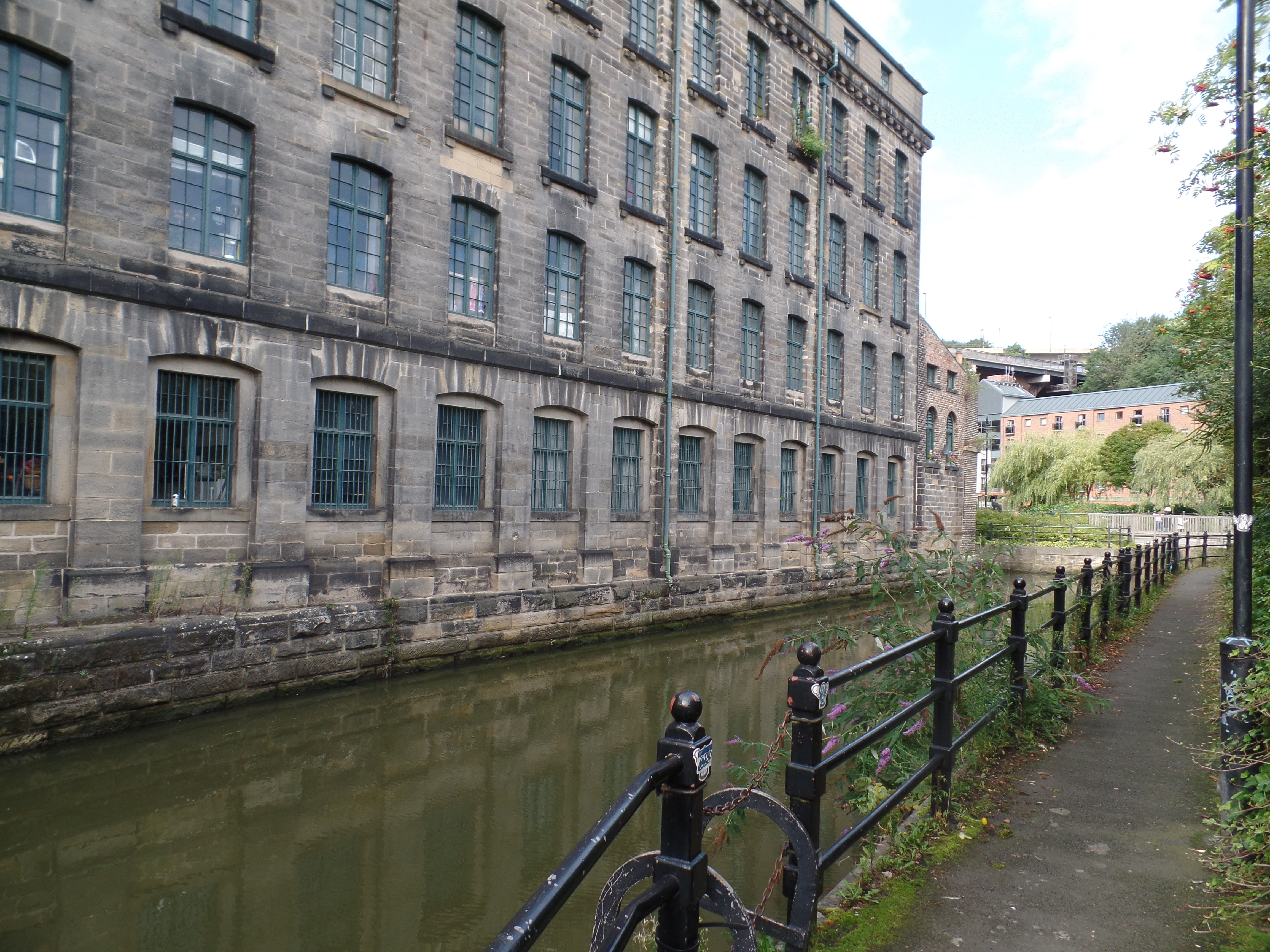
The Ouseburn is a major tributary of the Tyne. It rises on agricultural land near Newcastle Airport before flowing through urban Newcastle and North Tyneside, before it reaches the River Tyne some 15km later. Nearly 166,000 people live in the catchment in over 70,000 households.
The river is classified as at Moderate Status under the EU Water Framework Directive due to high Phosphate levels. These have a measured impact on the river’s ecological health (invertebrates, fish and diatoms). The river has many and complicated or suspected causes behind this status, including sewage discharge, agricultural sources, drainage from housing and other industrial or urban areas. Because of these varied potential sources, and the diffuse nature of many of them, it has been challenging to identify appropriate actions to address the phosphate issues.
The Evidence and Measures approach
The method interrogates existing data rather than commissioning new surveys. It is designed for ‘difficult’ catchments – where the actions needed are unclear, and there is no or little consensus on what action or location to tackle first. Tyne Rivers Trust identified this as a useful approach to the Ouseburn, with the added potential benefits of bringing together current Ouseburn initiatives and projects under a co-ordinated umbrella and engaging communities in delivering outcomes.
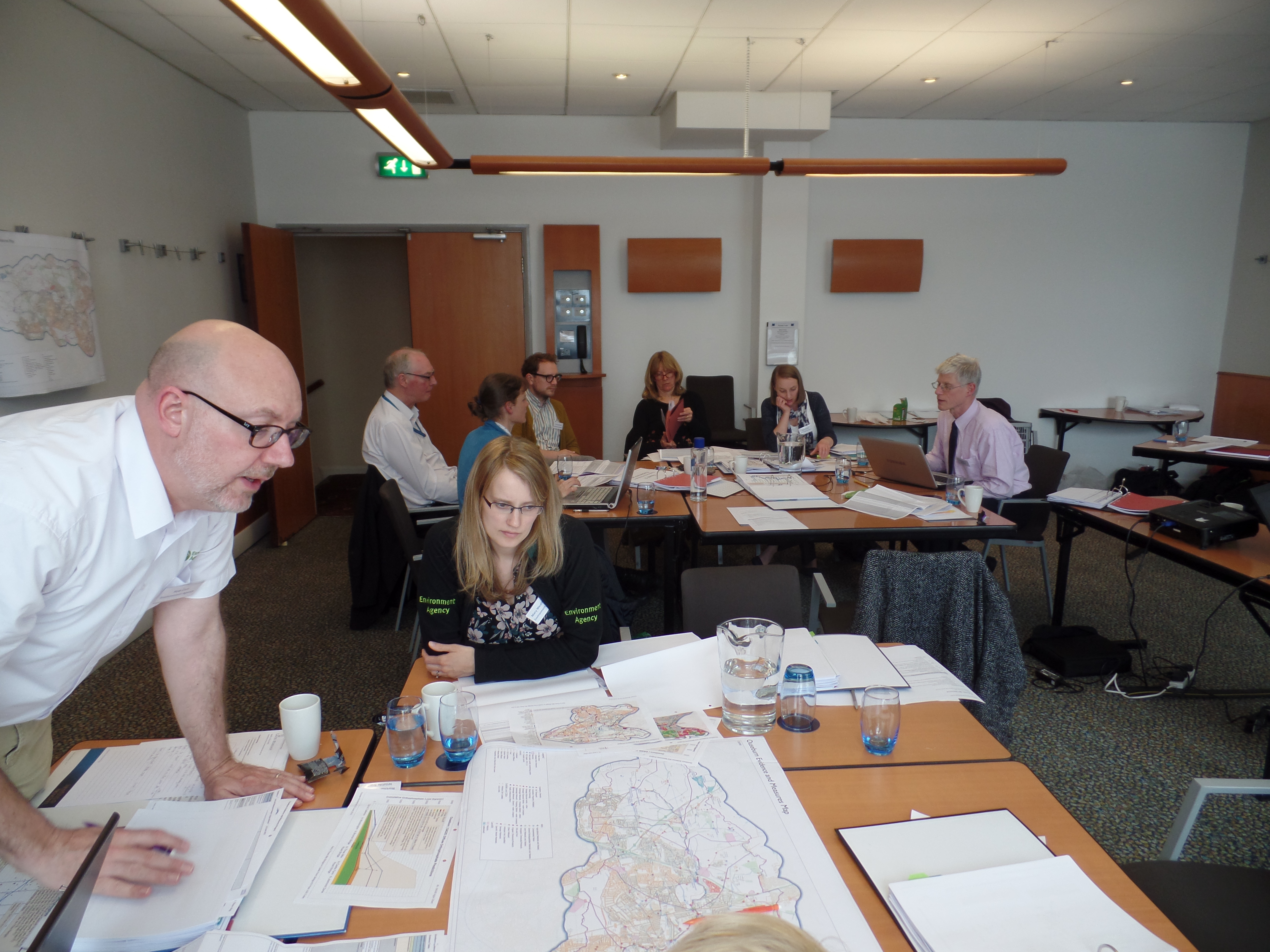
The project covered the whole of the Ouseburn catchment with a focus on phosphate. Over a 10 month period all the existing datasets and information about phosphate inputs were gathered and analysed to give as complete and detailed picture as possible. This included pollution data, river flow data and information about consented discharges into the river. In May 2015 this information was scrutinised by the partners at an ‘Evidence’ workshop, with the data broken down into six manageable reaches. Building on the shared understanding and impetus gained, the ‘Measures’ workshop (involving the same partners and held a few weeks later) a series of actions was agreed, including:
- Engagement with rural land managers and follow-up investigations / joint-agency work around manure and nutrient management, together with assessments of stream bed sediments and adjacent field soil in specific rural locations and priority tributaries
- A joined-up approach between Local Authorities, the Environment Agency and Northumbrian Water Group towards development sites in the Ouseburn catchment
- Investigations at specific locations for housing and sewer misconnections, together with increased monitoring and new logger locations.
Next steps
The partners wish to see the actions identified for the Ouseburn through to delivery. For many actions this is just ‘business as usual’ with a more Ouseburn focus, though other larger actions will require funding, investment or a change of policy.
We’d also like to build on our learning from this project. Some funding has already been identified in the Environment Agency’s Medium Term Plan for delivery of Ouseburn-specific measures and applying this forensic approach to the River Team and the River Don. Thinking even bigger, the same approach could work in the wider north-east region on similar ‘difficult’ rivers. We already know how we could be more efficient and effective, plus the stakeholders already have a shared understanding of the process. We’d like to bring and retain the evidence analysis knowledge and skills within the region, which would reduce costs as well as developing local ownership and synergies.
Funding
The Ouseburn Evidence & Measures project was funded from multiple sources, which speaks volumes about the joint commitment to see agreement and focused action on the ground. Funding came from

Defra, Northumbrian Water Group, the Environment Agency, the Community Foundation, and from Defra’s Catchment Based Approach (CaBA) mentoring fund. Significant in-kind contributions, by way of staff time, were given by Tyne Rivers Trust, pjHYDRO and rUKhydro. All partners donated time through staff attendance at both workshops.
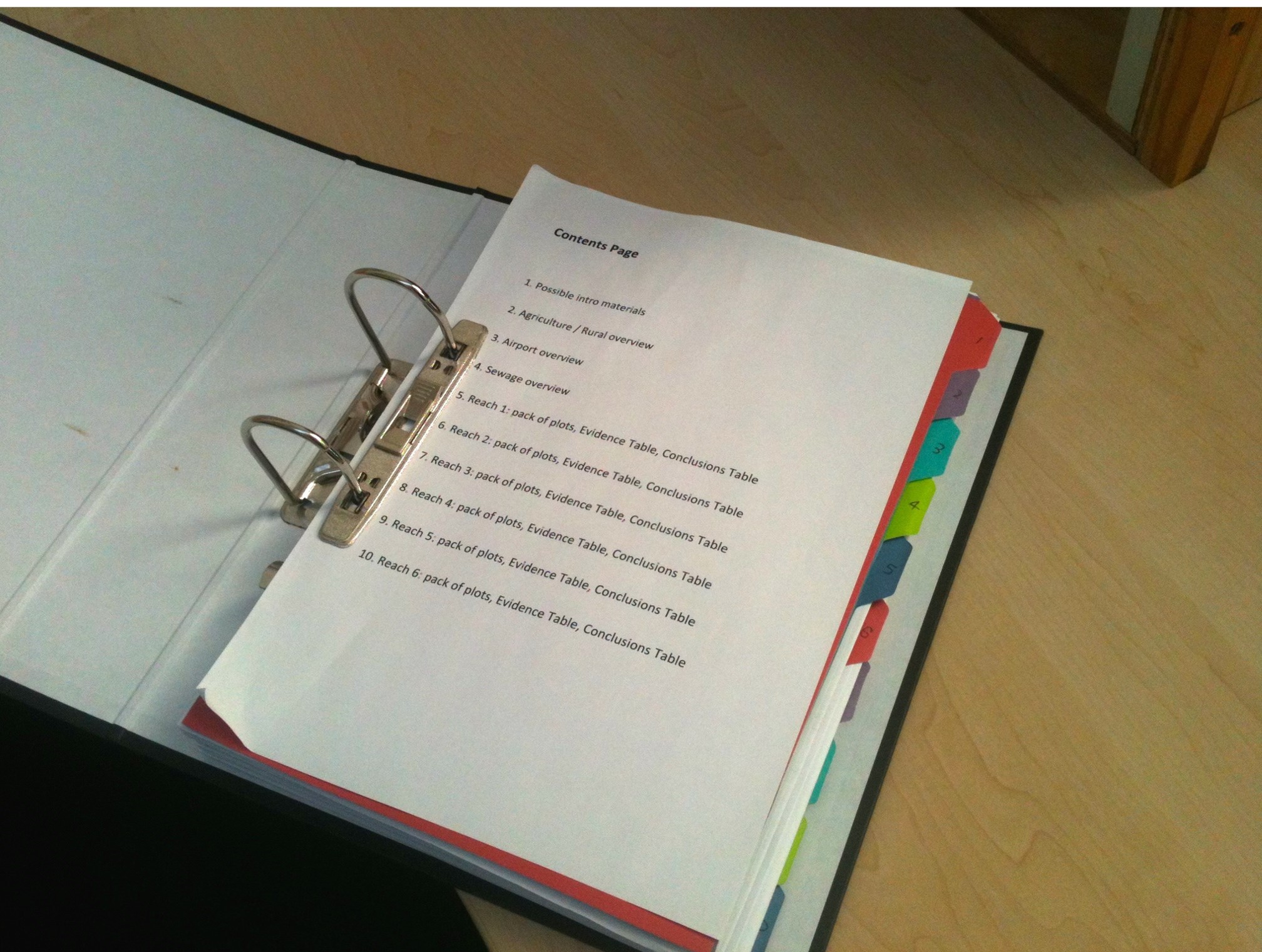
Here is a copy of the measures spreadsheet we all compiled at the second workshop.
Here is a 2-sided briefing note about the Evidence & Measures project.
Here is an A4 landscape map of the Ouseburn area, showing how we divided the catchment up into 7 reaches.